Rinjani Summit 2 days 1 night package 2025
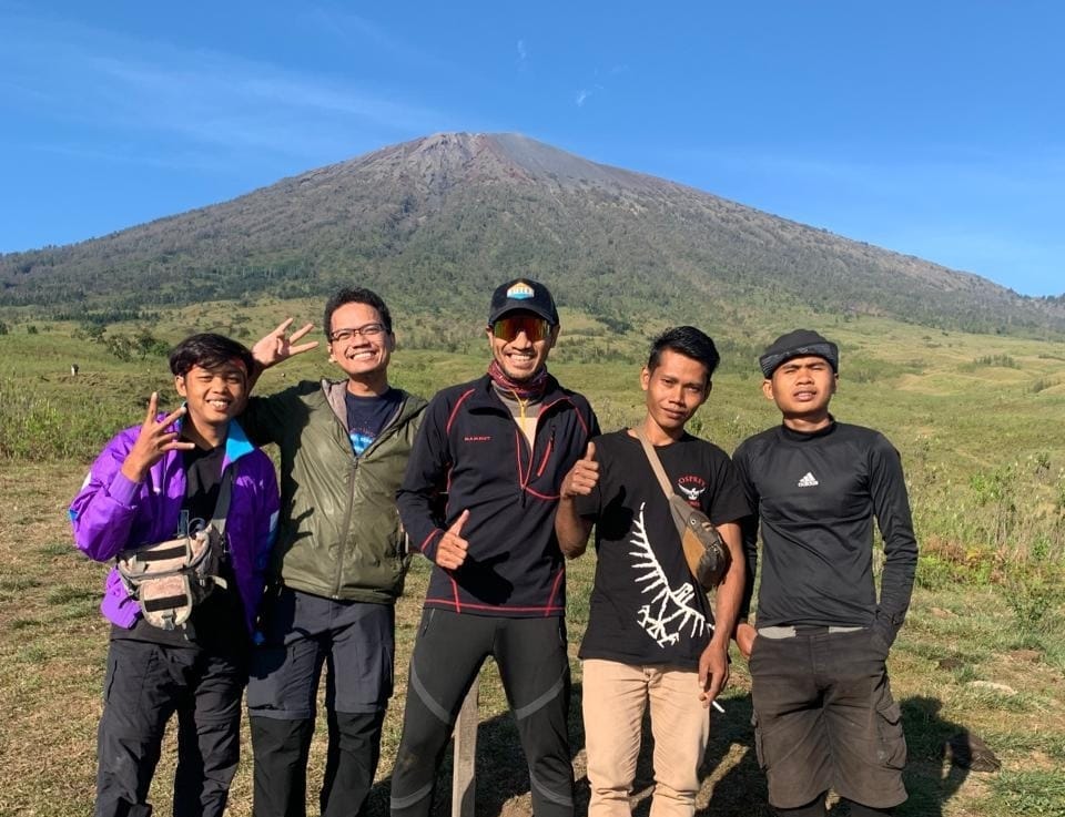
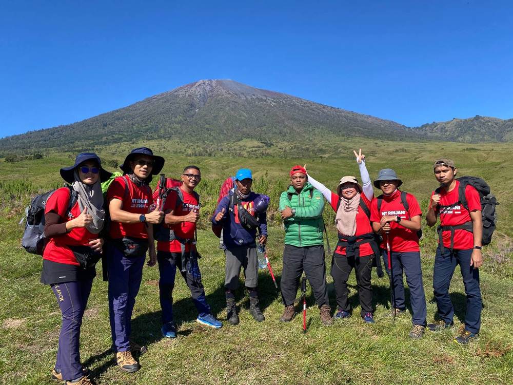
You’ll spend two days and one night for mount Rinjani trekking Starting from sembalun village to crater rim sembalun, summit and back to sembalun village,
OVERVIEW
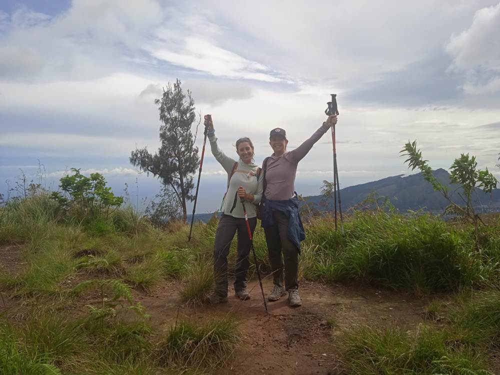
The trek will start from the Sembalun village with an altitude of 1100 m and will also take place in the Sembalun village. This route will be pampered with a vast landscape, a little long path and a bit hot during crossing the meadow, to get to the edge of the crater with the altitude of 2.600m you will need a lot of stamina because you have to climb five hills which are very high and challenging. On the second day is the struggle to reach the summit with a height of 3.726m, starting from 2 a.m in order to get the sun rise over the summit, of course this is very impressive because you can already conquer the second highest mountain in Indonesia, and you capture your moment by taking pictures.
Day 1 – Climbing to Sembalun Crater Rim
Approximately 7 hours trekking, 1700m ascent Morning:
- Travel to Sembalun Village: Start your day by traveling from the Rinjani trekking info
office in Senaru to Sembalun Village. If you’re staying in Sembalun, we will collect you from your hotel. - Registration: Complete registration at the Rinjani Information Centre.
Trek Commencement:
- Start-Point in Sembalun Village (969m altitude): Begin your Mount Rinjani Summit trek.
- First Segment: Trek for approximately 2 hours to reach “Pos 1” or “Pemantuan” (1300m altitude). Rest for 15-20 minutes with refreshments and snacks.
- Second Segment: Continue trekking for approximately 1 hour to arrive at “Pos 2” or “Tengengean” (1500m altitude). Take another 15-20 minute rest, enjoying more refreshments and snacks.
- Third Segment: Trek for approximately 1 hour to reach “Pos 3” or “Pada Balong” (1800m altitude). Enjoy a 1-hour lunch break where our porters and guide will prepare a nutritious hot meal, along with tea and coffee.
Afternoon:
- Climb to Sembalun Crater Rim Campsite: Begin the most challenging part of the day with a steep ascent to the Sembalun Crater Rim campsite (also known as Plawangan Sembalun). This climb takes around 3 hours, with impromptu rest-points along the way for hydration and snacks. The campsite is at approximately 2684m elevation, offering spectacular views of Mount Rinjani’s Summit, Lake Segara Anak, and Mt. Barujari.
Evening:
- Arrival at Campsite: Upon arrival, your guide and porters will set up tents and start preparing dinner. Enjoy a delicious hot meal, and take time to relax, admire the view with a hot drink, take photos, and explore the ridgeline.
- Prepare for Early Night: We recommend an early night to rest up for the 2 AM start of the summit trek. Comfortable mattresses and high-quality tents are provided to ensure a good night’s sleep.
Day 2 – Rinjani Summit Climb & Return
Approximately 10 hours trekking, 1042m ascent, 2757m descent 2:00 AM – Wake-Up and Light Breakfast:
- Start your day early with a wake-up call at 2 AM. Enjoy a light breakfast and a hot drink to prepare for the trek.
2:30 AM – Trek to Mt. Rinjani Summit:
- Leave the Sembalun Crater Rim campsite and begin your ascent to the summit of Mount Rinjani. The 3-4 hour trek is steep and often consists of gravelly volcanic sand, making it a challenging climb. Temperatures can vary significantly, so dress in layers and bring a warm hat, beanie, and gloves.
5:30 AM – Summit Arrival and Sunrise:
- Aim to reach the summit of Mt. Rinjani between 5:30 and 6:00 AM, just in time to watch the sunrise over Lombok. The summit offers exceptional views, including distant Mt. Agung in Bali, the three Gili Isles, and neighboring Sumbawa. Enjoy hot coffee or tea from a thermos while taking in the breathtaking panorama. Spend about 30-45 minutes at the summit, capturing photos and enjoying the scenery.
7:00 AM – Descent to Sembalun Crater Rim Campsite:
- Begin the 2-hour descent back to the Sembalun Crater Rim campsite. The downhill trek is easier than the ascent, providing opportunities to take photos and admire the views in daylight.
Brunch at Basecamp:
- Upon returning to the campsite, your porters will have prepared a well-deserved cooked brunch, along with coffee and tea. Spend about an hour relaxing and enjoying breakfast.
Trek Back to Sembalun Village:
- Start the trek back to Sembalun Village, retracing the route from Day 1 in reverse. Although downhill, the steepness of the path requires caution. The trek takes 5-6 hours, with regular breaks for rest and rehydration. A hot lunch will be provided during the descent.
Return to Senaru:
- Upon reaching Sembalun Village, transport will be waiting to take you back to the Rinjani trekking info
office in Senaru (approximately 1 hour drive). Recover any luggage left in our care, say your farewells to your guide and porters, and arrange transport to your pre-arranged drop-off point or hotel.
End your adventure with a sense of accomplishment, having experienced the stunning beauty and challenging terrain of Mount Rinjani.
- Pick up and transfers in and out (driver speaking English)
- Tranfer from senaru to sembalun Starting trek
- A night accommodation in Senaru
- Trekking guide Porters who will carry the cooking gear and camping equipment
- Foods and drinking water on the trek , soft drink, fruits, biscuit (Find in FAQ on website)
- Tent, toilet tent, sleeping bags, and mattress
- Chair and table
- Entrance fee for the national park IDR 200.000/day/trekker and Rp 225,000/person on holiday and sundsy ( ticket price rose to 150 % during Holiday and Sunday)
- Environment hygiene care ( bring trash down )”” in other company extra charge “”
- trekking poles
- trekking Insurance
- Rain coat
- Trekking shoes, long pants, gloves
- Airline ticket
- Extra porter $ 35/day
- Travel insurance
- Tip for porters and Guide
- Small bag / daily pack
Booking Form